 Summer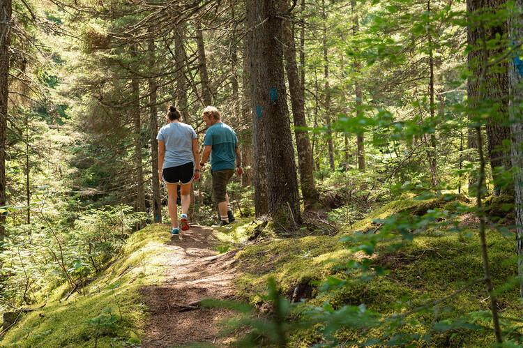
Whether you are looking for a family walk, a mountain hike, or a multi-day expedition, Parc des Appalaches offers more than 120 kilometers of marked trails crossing some of the most beautiful landscapes in southern Quebec.
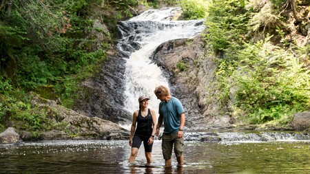
Walk through mature forests, maple groves, peat bogs, eskers, wetlands, and along wild rivers like the Noire Nord-Ouest river. Along the way, take the time to observe the wildlife, flora, and the many viewpoints that make the park famous.
Rest areas and several viewpoints dot the courses to fully enjoy your adventure.
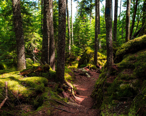
Whether you are a beginner or an experienced hiker, you will find a route that suits your desires.
Accessible trails offering shorter distances, perfect for exploring the park with the family.
Various routes allow you to traverse valleys, forests, and streams while enjoying beautiful landscapes.
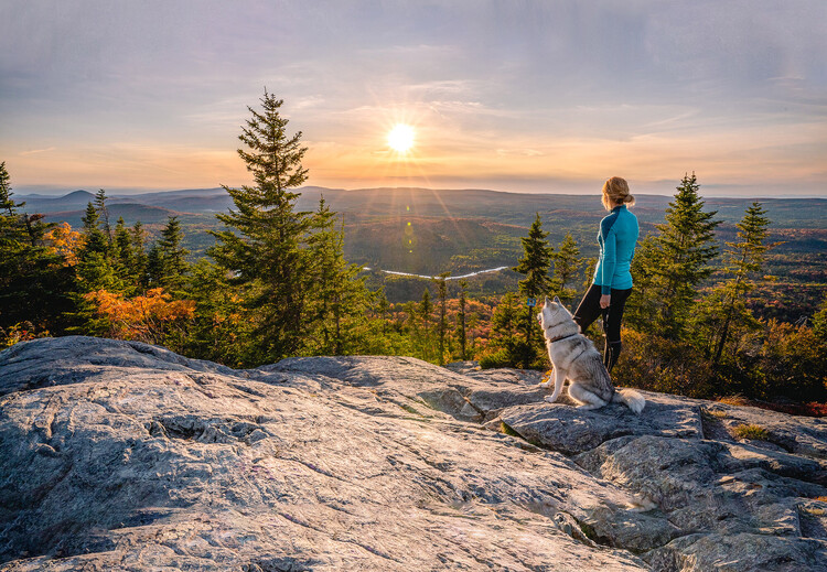
Take on the challenge of the Sugar Loaf and Grande Coulée mountains. The climbs are rewarded with spectacular panoramas.
Extend your adventure over several days thanks to the shelters and campsites spread across the network of trails.
Varied routes for all tastes and all levels. It's up to you to choose your adventure!
Access via parking P5 on Limites road along the Saint-Fabien Welcome Center at 73, route 283 in Saint-Fabien-de-Panet
Access via parking P5 on the Limites road along the Saint-Fabien Welcome Center at 73, route 283 in Saint-Fabien-de-Panet
Access through parking lot P5 on Limites road following the Saint-Fabien Welcome Center at 73, route 283 in Saint-Fabien-de-Panet
Access via parking P5 on Limites road along the Saint-Fabien Welcome Center at 73, route 283 in Saint-Fabien-de-Panet
Access via parking lot P5 on Limites road along the Saint-Fabien welcome center at 73, route 283 in Saint-Fabien-de-Panet
The Sugar Loaf and Grande Coulée mountains are among the highlights of the Appalachian Park. These climbs offer exceptional panoramas of the surrounding mountains and are a popular challenge for hiking enthusiasts.
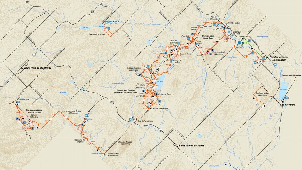
Plan your outing by consulting the official map of the Appalachian Park.
Our reception team can advise you based on your level, the desired duration, and the landscapes you want to discover.